
IndiaRAP’s first NHAI project Star Rating 2,400kms of national highways across 3 states is underway in a bid to address escalating road deaths and injuries in recent years.
791 km of dual-carriageway highways in Uttar Pradesh, 188km in Tamil Nadu and 309km in Maharashtra have been Star Rated and safety treatments identified which will help in reducing the road crashes, fatalities and serious injuries.
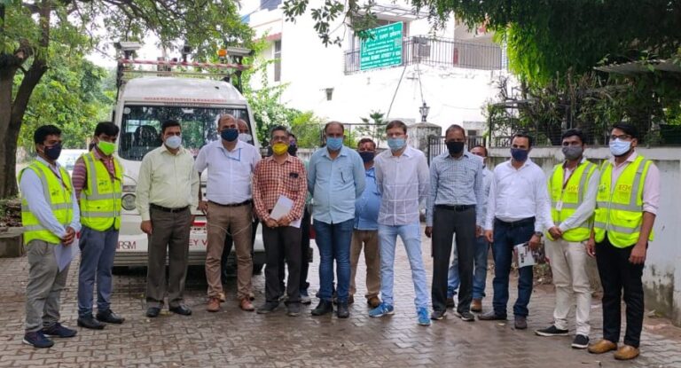
IndiaRAP is working in partnership with the National Highway Authority of India (NHAI) Road Safety Cell and 9 Project Implementation Units (PIU), 3 survey teams working simultaneously across the states, and 2 iRAP accredited suppliers (Indian Road Survey and Management Pvt. Ltd. and GeoVista Technologies Pvt. Ltd.)

The project involves:
- Road surveys and supporting data collection including traffic volume count, speed surveys and road crash data as available;
- The production of detailed reports for each road including assessment results and recommended safety treatments;
- Training workshops to share the findings and recommendations with NHAI; and
- Implementation support for the preparation of customized SRIPs and prioritized steps for action.
The Draft Reports including Star Ratings and Safer Roads Investment Plans have been shared with concerned PIUs. A one-day workshop will be organized in each state to share the details of results, interacting with the PIUs, road concessionaires and consultants to get feedback and comments.
The NHAI is an autonomous agency of the Government of India, responsible for development, maintenance and management of a network of over 50,000 km of National Highways out of 1,32,500 km in India. While highways and expressways constitute only about 1.7 per cent of the length of all roads in India, they carry about 40 per cent of road traffic.
See the project announcement in The Economic Times of India.

